By Founder and President Kurt Lieber
I think you’ll be shocked by what I saw on Tuesday, November 20, 2018. Come along with me on the journey…
This is my second report about our most recent Trap Trackers effort.
The Team Forms
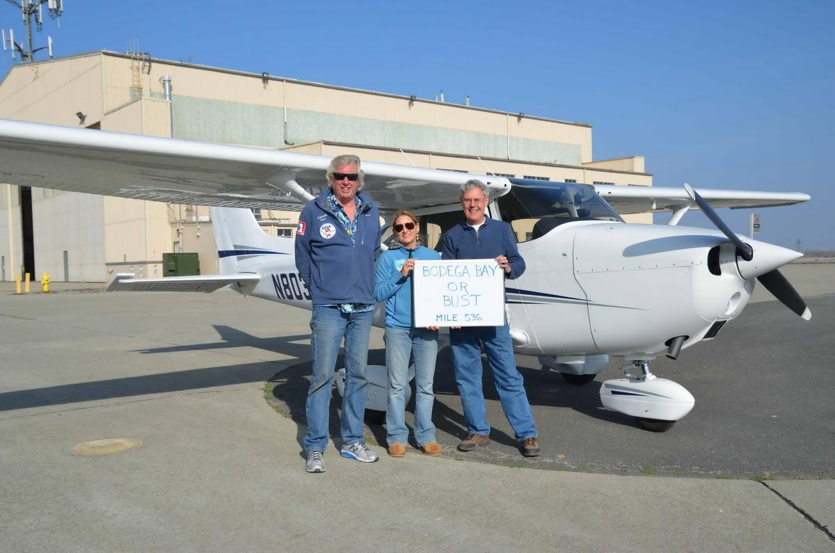
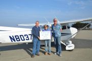
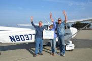
I had the great good fortune of going on a flight with pilot Ken Newberry. This was the second year in a row that Ken has taken me up in his plane to scout for areas where Dungeness crab traps are set along the central and northern coast of California (CA).
Ken volunteers with a great nonprofit organization called Lighthawk. They have a cadre of volunteer pilots throughout the US who have offered to use their planes to take people to places they couldn’t otherwise reach. In ODA’s case, we want to fly over areas of the California coast that are being negatively affected by the commercial fishing industry.
Kim Cardenas, longtime ODA SCUBA diver, volunteered to help me on this Trap Trackers which began on November 15th.
Ocean People Go Airborne
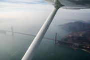
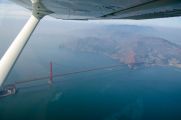
We met up with Pilot Ken at a public airport in Marina, California, which is north of Monterey Bay by about 20 miles. We took off under hazy skies because of all the firestorms that ravaged California, and in which, sadly, at least 85 people have died at last count. Because of the bad air visibility, we could only see about five miles. As we took off from the airport, we were flying at 1,500 feet as we made our way up the coast from Monterey Bay to our target location: Bodega Bay.
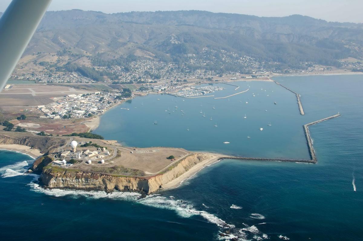
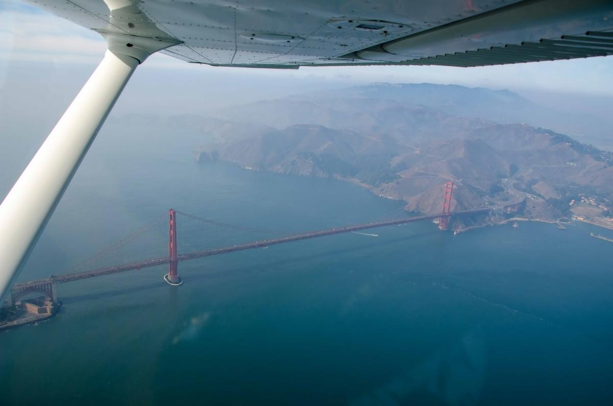
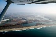
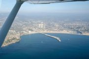
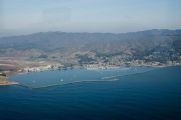
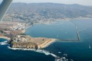
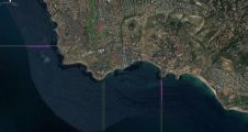
We were flying about a mile offshore, in order to see some trap marker buoys, then we’d drop down to 1000 feet when we wanted to get closer to the action. And action is what we saw when we arrived at a spot called Half Moon Bay (pictured below).
As we approached the bay, we started seeing a couple of long sets of trap markers. Opening day for the Dungeness crab fishery was on November 15th, so we were there just a few days after all the traps were put in the water.
Context from Other Outings…and Otters…
Because of what I observed last year, I wanted to not only scout the coast for high concentrations of traps again but felt it would be really helpful to get back to some of these sites with a boat and individually GPS mark each trap location. This is what we’ve been doing in southern California with the lobster fishery.
To that end, I trailered one of ODA’s boats up there with the intent of getting in the water to do the documentation.
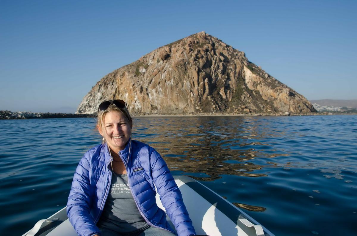
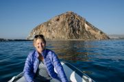
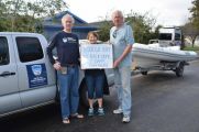
When Kim and I were in Morro Bay a few days earlier, we put the boat in the water and motored around to make sure the boat was functioning properly. Here is Kim when we first set out. Notice the relaxed smile...
Well, both of our smiles quickly turned to frowns when the motor started oscillating between 1,200 to 3,000 RPMs. We decided to take it out in the open ocean where we could run it at higher speeds with the hope of warming the motor up and hopefully have the RPMs remain constant. It eventually did do that, so we put the boat back on the trailer and headed to Monterey Bay.
On our way up there, Ken called me and said he wanted to put off the flight for a few days because of all the smoke in the air. No worries…
So, with two days to kill, Kim and I decided to see if we could get the boat to run any better and put it in the water at Moss Landing. Again, the motor was oscillating, but it eventually leveled out. We decided that it was running well enough to take it in to an estuary that feeds into Moss Harbor, the famed Elkhorn Slough. It is renowned because it is a haven for Sea Otters. The area is so vital to wildlife that the state declared it a Marine Protected Area.
As Kim and I were getting the boat off the trailer, we saw an otter right near the boat ramp, in fact the furry critter was pounding some shellfish on the dock pilings, and then eating the remains right in front of us.
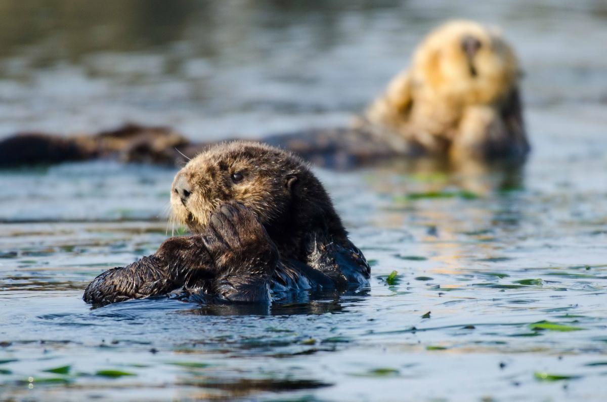
As we made our way into the Slough, we could see dozens of otters lazing about. Most were either on their own, in small groups, or a mother with a kit in tow. We positioned the boat close to them but always made sure we didn’t spook them or interfere with anything they were doing. I got my camera out and started getting all the otter images I could. I had NEVER seen this many otters in my life and wanted to take home some memories.
At one point a juvenile otter was having a grand old time, swimming around and rolling over while he was 40 feet away from us. He kept getting closer and closer. I had the boat turned off, and he was oblivious to our presence. Kim and I just looked at each other in awe, but he was going to run right into us. As soon as he got about 2 feet from the boat, he suddenly noticed us, gave us a startled look, then slowly tried to climb in the boat. What!?!?
He didn’t make it into the boat, but then angled up to Kim who had her hand resting on the side of the boat. He kissed her hand, well kinda sniffed it, noticed she didn’t smell like seafood and went along his merry way. Who among us can say they’ve had their hand kissed by an otter…Kim can!
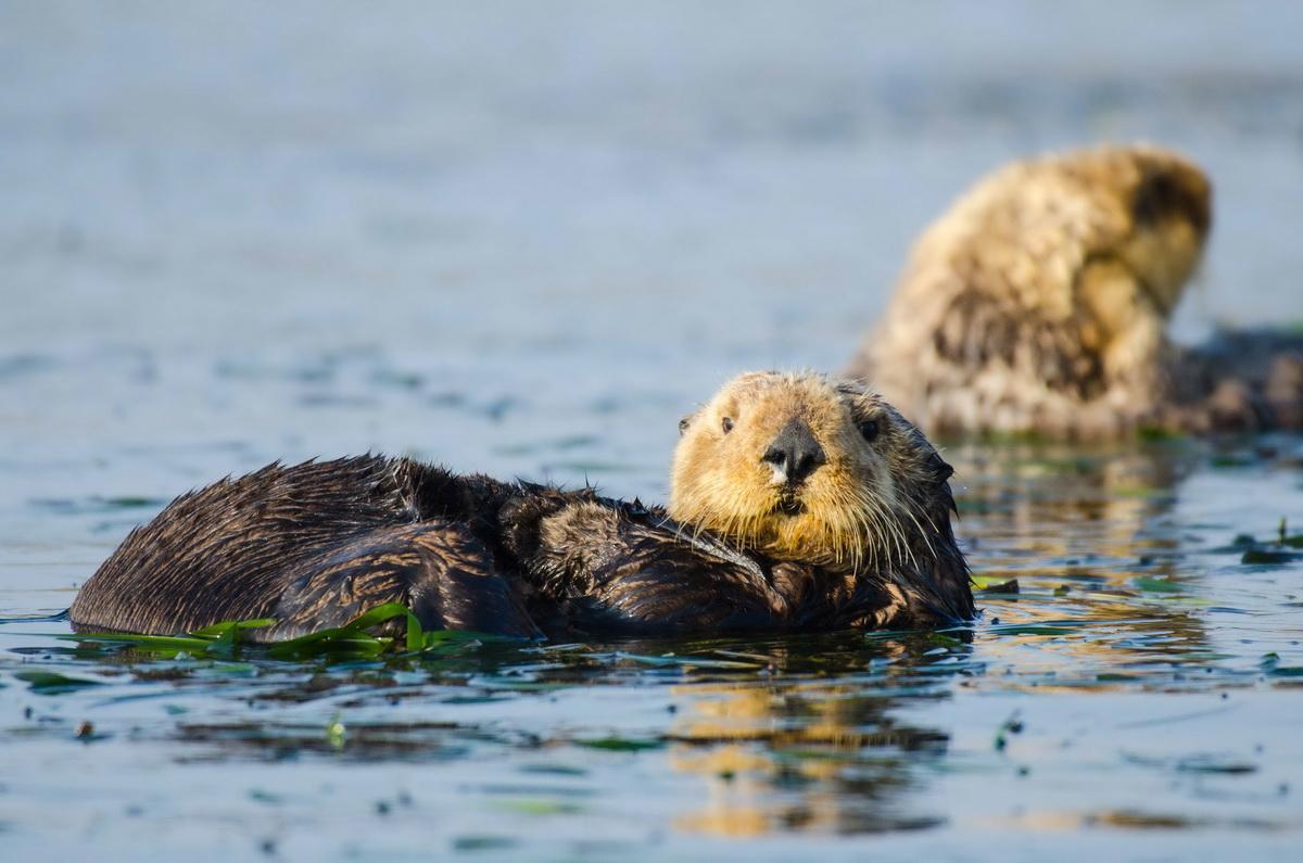
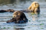
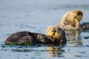
I didn't have my camera ready to get that shot, but below is another kit for you to enjoy. :-)
We also saw brown pelicans (all juveniles for some reason), elephant seals, cormorants, Caspian terns and great blue herons there.
Boat Goes Haywire
After about three hours of this wonderfully serene experience, we started to head back to the boat ramp. Only to have the motor go completely bonkers on us. It was revving as high as it could go, 6,000 RPM. I quickly put it in neutral, but that didn’t make a difference, it kept screaming. I turned the engine off and took a look under the hood so to speak. I couldn’t see anything obviously wrong, so I tried starting it again. Revving to 6,000 once again… “Grab an oar, Kim, we’re going to make like Vikings for awhile...”
So, now we had lost our only means of getting detailed GPS numbers for any traps we’d come across.
That night, I hardly slept a wink. Woke up at 1:30 and never got back to sleep, trying to figure out how to salvage this trip. I eventually came up with a scheme that might work….
Planning Trap Tracking from the Air
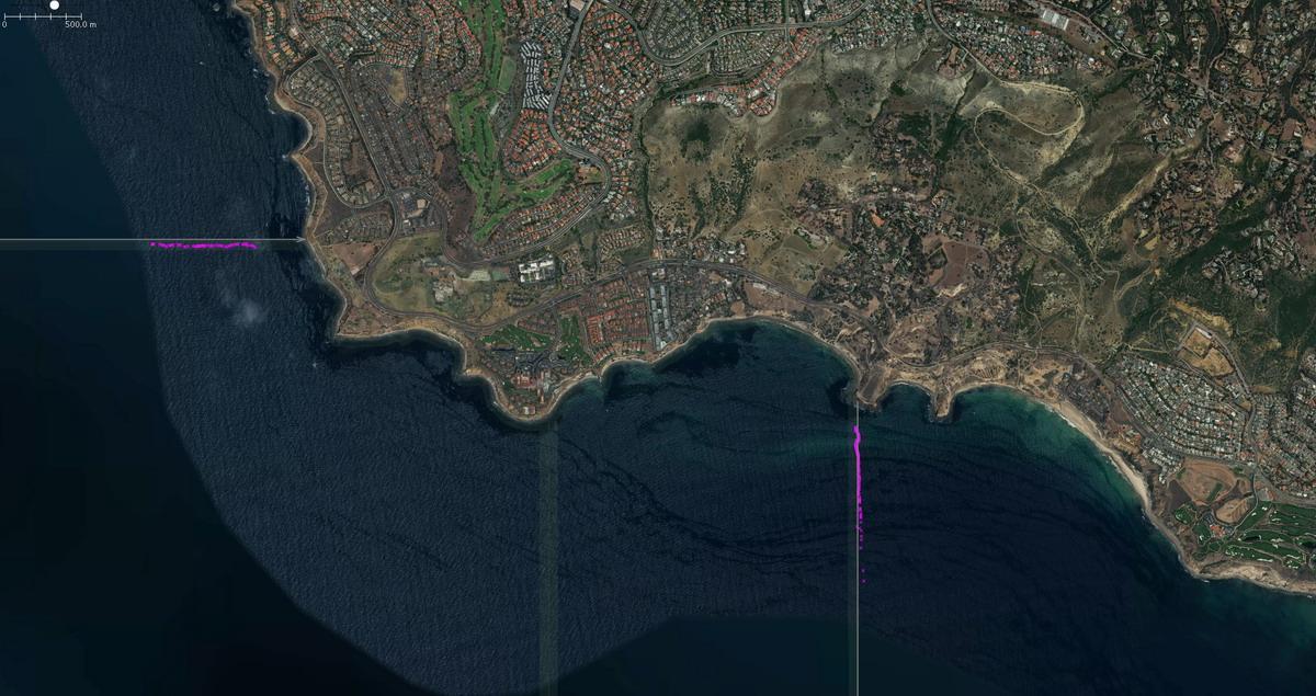
The crab fishermen set their traps in a straight line. Here's an example in a map we made earlier this year of the waters of Laguna Beach; the pink dots are the traps.
Sometimes there are only a dozen traps in the line, and other times there are 50 or more. So, what we could do from the air was GPS mark the first trap in a line (point A), follow that line of traps while counting how many were in that particular set, and then mark the last trap (point B). Kim would handle the GPS marking, while I would count how many traps were set between points A and B.
Because these traps are spaced evenly apart, I figured we could then plot however many traps were in that line and overlay them on to a map.
When Kim and I met up with Ken on the day of the flight, we discussed my proposal and concluded it could be done. Up we went.
Back to the Flight with Ken
As we flew over Half Moon Bay, we saw three lines of trap sets. We got the GPS numbers on one of the sets and continued on our way. What we saw as we progressed north was unbelievable once we got past San Francisco Bay.
We soon could see Point Reyes National Seashore and then we came across a place called Drakes Bay. We started seeing so many sets of trap lines that we could not keep track of each set.
Most of these sets had between 20 and 40 traps set in that line but some of them had almost to 60. And these line sets intersected each other because each one of the fishermen has a different idea on what direction to drop their traps. Some went north and south, others at different angles to that. None of it made logical sense, and it looked like total chaos to us.
Onward to Crab Trap Hell
As we flew north from Drakes Bay the next cove was Bodega Bay. I've spent weeks vacationing here over the course of about 20 years. But I never saw anything like I saw today.
We were flying at 1000 feet and could see on either side of the plane traps set along straight lines, but just like Drakes Bay, these straight lines were crisscrossing all over the place to the point where you couldn't count how many sets there actually were.
We’d GPS mark the first trap as Point A, count how many we saw, then mark Point B. We then would circle back around, locate another line set and repeat the process. We did this about 10 times. At that point my equilibrium was spinning and I couldn’t orient my brain to anything that was stationary. I was getting air sick… Dang.
Spurred on to Fight for Marine Life
What we observed in those two bays was mind-blowing. How can we hope to have this fishery co-exist with a healthy population of whales?
Kim said to me at one point: “I can tell you from what I saw today, I don't think I could swim through that maze of traps in Drakes and Bodega Bay and not get entangled.” Her wingspan is about five feet, a humpback whale? About 50 feet. There were hundreds, if not a thousand, traps set in each Bay.
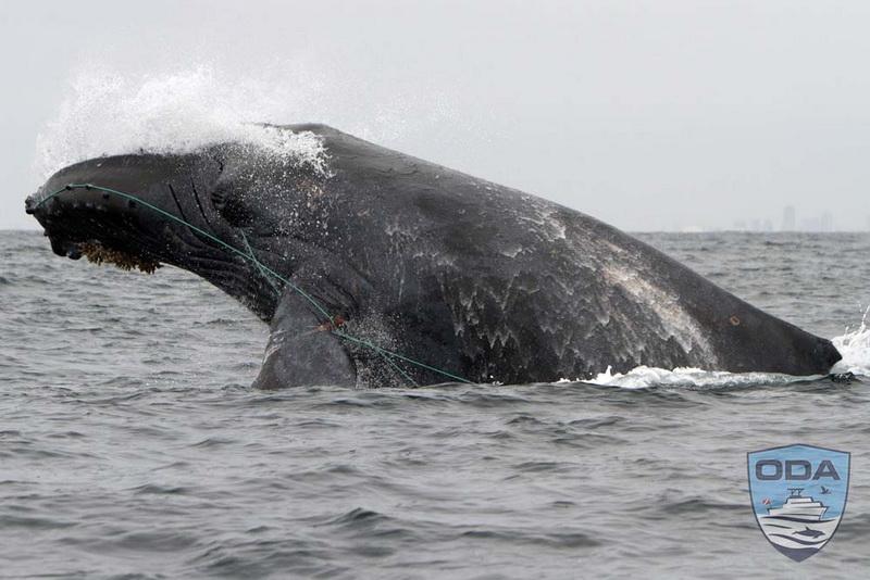
Here's an example of exactly what happens to whales when they try to swim between these trap lines. Very sad.
We need to start respecting the lives of these animals that have called these bays and coastline home for millennium. The vast majority of these whale entanglements are happening to humpback (endangered) and gray (protected) whales. NOAA’s latest assessment is that 60% of the whale entanglements along the west coast of the US can be directly traced to the Dungeness crab fishery.
ODA is doing all this documentation with the goal of better informing the public about what is going on right off our coasts and help some organizations that have lawyers on staff and can put pressure on our government to enforce the Endangered Species Act.
We need to come up with better ways to do this fishing. Either reduce the number of traps that can be set or come up with better fishing practices that don't have all these trap lines going from the ocean floor to the surface, which is where the whales are most likely to become entangled.
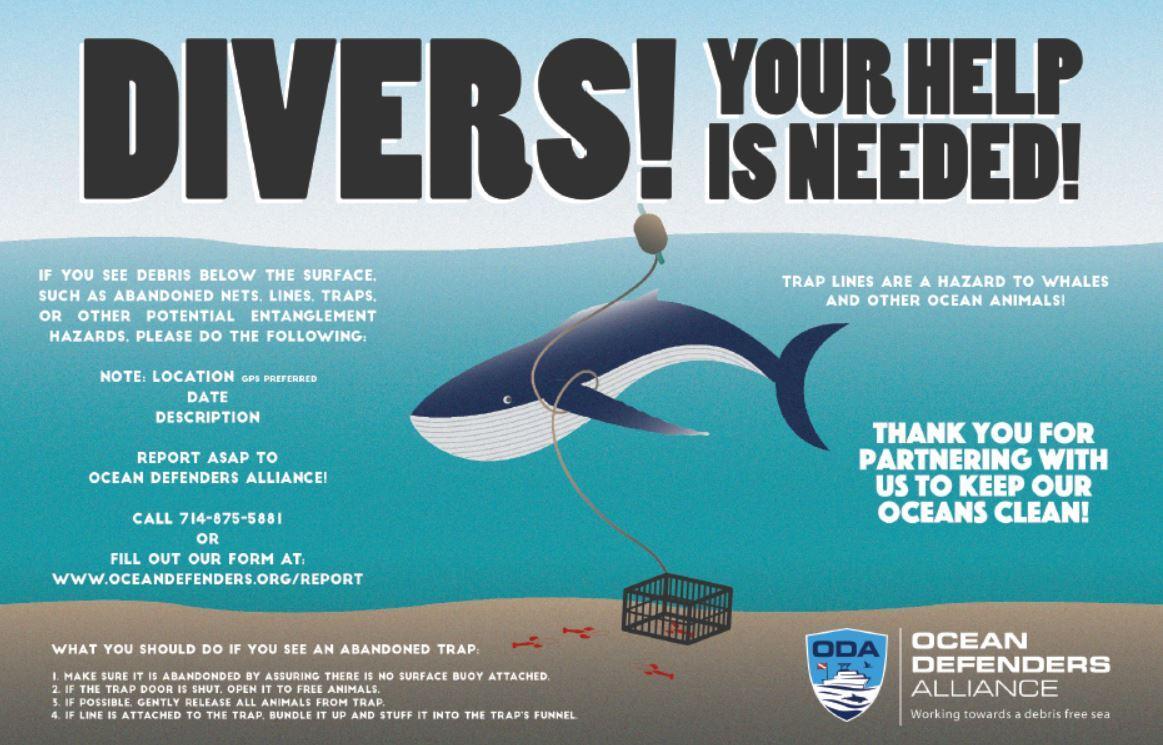
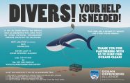
If you're ever out on coastal waters and see marine debris, please report it to us so we can try to remove it. See below an image of our "Report Ocean Debris Poster":
Gratitude for Fellow Ocean Defenders
We covered a lot of miles on this project, roughly 1,250 miles, both in the air and on the ground. Hope you enjoy the images I took along the way, and this lengthy article. Brevity has never been my strong suit…
I want to thank a few people for helping out with this phase of ODA’s Trap Tracker project.
- Ken Newbury: his skill behind the stick is just outstanding. Our takeoffs and landings felt like we were in a cushioned limo. Plus, his enthusiasm for what ODA is doing is palpable and much appreciated.
- Christine Steele: she works for Lighthawk and put me in touch with the two pilots who took us on the two flights we took on this trip.
- Kim Cardenas: for taking a week out of her life to help with this phase of the project.
- John Milligan: he’s been helping me through all kinds of computer and boat electronic issues. He was at my house one night until 12:40 am, trying to get the boat lights to work the day before I left Huntington Beach.
- Linda Nicholes: who made a significant donation that allowed us to purchase the new RIB (the rigid inflatable boat which we used on this trip), to replace our ageing one that is slowly (well, maybe not so slowly) falling apart. We now affectionately call it LINDA’S RIB.
- Jim Lieber and Lisa Davis: for helping me prepare for this long journey and taking care of my house while I was gone.
Lastly, I’d like to thank each one of you for following what ODA is doing with our Trap Trackers campaign and making your donations when you can. This could NOT happen without each one of you helping out in your way!
If you want to make sure you don't miss any of our articles and updates, be sure to LIKE our Facebook page where we share links to new website postings. We're glad to stay in touch with you!


